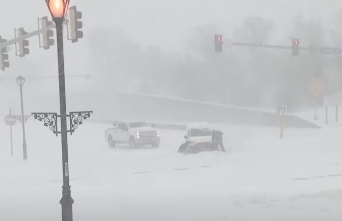
A huge winter storm is set to blanket the U.S. this week, with nearly 200 million people in its path. Snow, freezing rain, and cold temperatures will sweep across the country, bringing travel chaos and power outages.
Kansas Governor declares state of emergency
Ahead of the storms, Kansas Governor Laura Kelly issued a verbal state of emergency. She warned residents to prepare for the worst. “Kansans have faced challenges due to winter storms this year. The key is preparation,” Kelly said. The state is bracing for heavy snow and icy conditions, with travel disruptions likely.
Snow and storms hit the Plains and East Coast
The first storm will form in the Plains on Monday night. By Tuesday, it will push east, bringing snow and rain across much of the country. Meteorologist Alex Duffus from AccuWeather explained that cold air moving south will meet moisture from the Gulf, creating snow from the Plains to the East Coast.
Kansas, Oklahoma, and Texas will feel the first blast by late Monday. But it won’t stop there. By Tuesday, the storm will reach the East Coast, affecting major cities. Snow, freezing rain, and wet conditions will make travel hazardous. The storm will also bring below-average temperatures to the Plains and Rockies.
Travel chaos and power outages expected
The storm will disrupt travel from the Midwest to the East Coast. Snow is expected to fall heavily, especially in the Mid-Atlantic region. From Tuesday into Wednesday, major cities like Washington, D.C., and New York could face significant travel delays. Snowfall rates could reach 1 inch per hour, with heavy, wet snow making roads dangerous.
By Tuesday night, temperatures in the Plains and Rockies will plummet, with some areas seeing a drop of up to 40°F below average. Flash flooding is also possible in urban areas, putting roads and infrastructure at risk. People are advised to stay off the roads if possible.
Winter weather continues to spread
By Tuesday, the storm will spread across the Midwest and into the Ohio Valley. Snow and freezing rain will affect the Appalachians and Mid-Atlantic, with eastern Kentucky and the I-95 corridor seeing heavy snow. This could lead to isolated power outages and even more hazardous travel conditions.
From North Carolina to Virginia, up to a quarter inch of ice is expected. This will create slick roads, and the weight of the ice could cause power lines and trees to collapse. The National Weather Service is warning that travel will be extremely dangerous, particularly during the evening rush on Tuesday.
The storm moves East and a new threat looms
By Wednesday, the worst of the first storm will move offshore. But the East Coast won’t be in the clear for long. A second storm is set to track through the Great Lakes and Ohio Valley before heading to New England. This could bring even heavier snow and more disruption.
FOX Weather predicts that the second storm could cause significant snow accumulation across the Plains and Northeast. It will be a tough few days for travelers and anyone hoping to escape the bad weather.
Unfortunately, the bad weather doesn’t end here. A third storm is expected to form later in the week, potentially affecting weekend plans. This relentless winter pattern could last well into next week.


