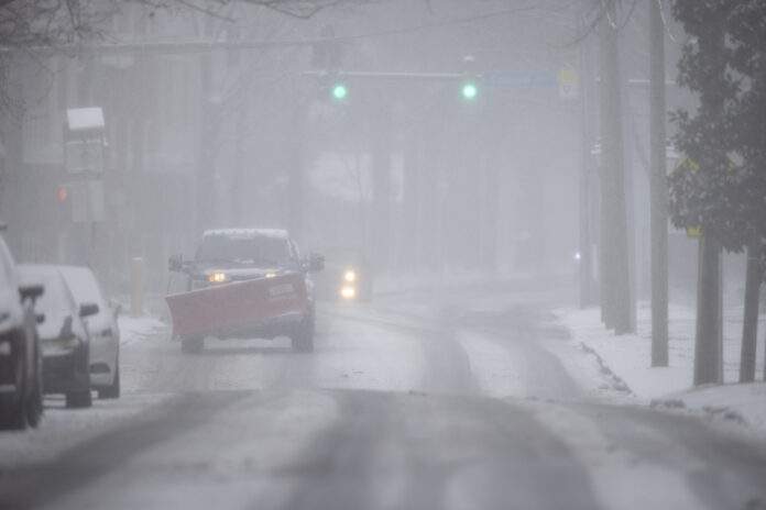
A brutal wave of life-threatening cold air will continue sweeping across the central United States through midweek before pushing into the East Coast by the end of the week.
The polar vortex hit its peak across much of America on Wednesday, with an icy grip that made Arctic Greenland seem like a toasty vacation spot in comparison. Even Mars has been warmer than North Dakota this week.
AccuWeather meteorologists warn that the extreme temperatures will strain energy demands and impact household budgets before conditions begin to improve.
Dangerous cold grips the nation
The intensity of the Arctic air mass is painful, dangerous, and damaging in some areas.
By Tuesday afternoon, temperatures struggled to reach zero degrees Fahrenheit across much of the northern Plains, running 20 to 40 degrees below the historical average for mid-February.
As a winter storm brings snow and ice to parts of the region, frigid air is being drawn southward. The coldest conditions will continue expanding eastward through Wednesday and move off the Atlantic coast by Thursday.
Wind chills drop to life-threatening levels
In Oklahoma City, Wednesday morning temperatures hovered just above zero degrees Fahrenheit, but AccuWeather RealFeel Temperatures plunged to 30 below zero due to strong winds and drifting snow. The landscape looked more like the Arctic tundra than central Oklahoma.
Even brief exposure to these conditions can be extremely dangerous. Those not properly dressed, especially with exposed skin, face a high risk of frostbite and hypothermia.
Cold threatens pipes and water mains in the South
This Arctic outbreak is so intense that freezing temperatures will reach southern states, raising concerns over burst pipes and damaged water mains.
Even Pittsburgh, which is not at the core of the cold, has remained below freezing since Sunday afternoon and may not warm above freezing until Saturday. Normally, high temperatures in mid-February hover around 40 degrees in the city.
Heavy lake-effect snow adds to the misery
Despite significant ice cover on the Great Lakes, enough ice-free areas remain to produce bands of intense lake-effect snow, adding to the hazards in the Great Lakes region.
Relief is coming, but not yet
The worst of the cold will begin to ease over the Plains later this week and move into the East by the weekend. If the sun is out and winds are light, afternoon temperatures may feel slightly warmer.
However, this Arctic blast is not tied directly to the polar vortex. Instead, a large high-pressure system from the Arctic has pushed southward, delivering brutal temperatures without the usual assistance of a polar vortex disruption.
While relief is on the way, millions will have to endure several more days of bitter cold before any real improvement.


