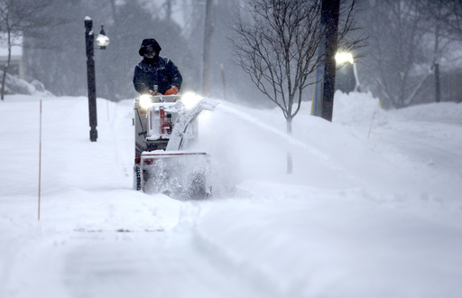
Storm #1 (Potential Harlow) set to hit early week
A major winter storm is expected to begin Monday night in the Plains before spreading into the Ohio Valley, mid-Atlantic states, and southern New England on Tuesday.
Areas potentially impacted: Cincinnati, Washington, Baltimore, Philadelphia, New York City
Uncertain forecast: Meteorologists are unsure how much snow will fall on the northern edge of the storm, from Kansas, northern Oklahoma, and Missouri east to the Ohio Valley. Some areas may see only rain, while others could get up to three inches of snow.
Expected snow and ice accumulation: The heaviest snowfall is predicted from the Ohio Valley to the mid-Atlantic, with more than five inches expected in parts of Virginia and West Virginia. Light ice accumulation is also possible from the Ozarks through Kentucky into Virginia and northwest North Carolina.
Storm #2 to follow closely behind
A second storm system will arrive as early as Tuesday night, hitting the Rockies and central Plains on Wednesday before moving into the Midwest and mid-Atlantic states. By Thursday, it will impact the eastern Great Lakes and Northeast.
Areas potentially impacted: Denver, Kansas City, Chicago, Detroit, Buffalo, Boston
Snow and ice accumulation: While snowfall totals remain uncertain, this system is expected to bring significant snow to parts of the Northeast, particularly the farther north it moves. Heavy snow could also accumulate from the central Plains to the Great Lakes. Ice accumulation is again possible, stretching from Oklahoma to the Ohio Valley, Appalachians, and southern New England.
Not just snow and ice – heavy rain also a concern
On the warmer side of these storms, parts of the South will see heavy rain and thunderstorms.
Flash flood risks: Flooding may occur in hilly and mountainous areas, especially in places already saturated by the first storm. If the storms hit the same regions back-to-back, the flood threat could increase significantly.
Another winter storm possible next weekend
If the first two storms weren’t enough, another strong Pacific system is expected to reach California later this week before moving into the Mountain West. This storm could develop into a major winter event for the Plains and Upper Midwest by the weekend, bringing more heavy snow, rain, and even severe thunderstorms to the South.
Multiple storms in a short span are not unusual
It’s not uncommon for several winter storms to occur within a week, particularly in January and February when cold air is most widespread. When Arctic air remains in place and the jet stream delivers repeated disturbances, back-to-back storms can happen.
A similar pattern occurred last month when four significant winter storms impacted the U.S. between January 4-22, culminating in the historic Gulf Coast Winter Storm Enzo. In January 2024, six winter storms hit within the first three weeks.
Meteorologists advise residents to stay informed and prepare for changing conditions as this active storm pattern continues.
