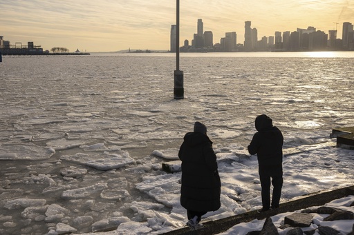
A powerful storm system is wrapping up its journey across the U.S., bringing snow, ice, and heavy rain to the Midwest and Northeast through Friday night.
Winter Hazards From Michigan to Maine
A narrow band of winter weather hazards is stretching from Michigan to Maine as the storm moves east. While cold air retreats and milder air settles in, most of the precipitation in the Northeast is falling as rain.
“This storm is bringing a large area of precipitation to the Northeast, mainly as rain in most places,” said AccuWeather Meteorologist Nick Arman.
However, some pockets of freezing rain and drizzle created slick conditions across the central Appalachians and southeastern New England early Friday.
Rain, Fog Impact Travel on I-95 Corridor
With temperatures in the 40s and 50s, the I-95 corridor from Washington, D.C., to Boston is seeing rain instead of ice. However, travelers may still face delays on the roads and in airports, with dense fog reducing visibility into Friday evening.
Further north, colder air is holding strong, bringing all or mostly snow.
“A thin band of snow will develop on the northern edge of the storm, with the potential for 1-3 inches and even 3-6 inches of accumulating snow, especially in higher elevations of New England,” Arman said. Some isolated areas could see up to 12 inches.
More Snow Coming This Weekend
By Saturday, the storm will move offshore, leaving behind cold, blustery, but sunny weather. However, another round of snow is expected from Minnesota to New England late Saturday into Sunday.
“Some of the same areas in New York and New England experiencing snow late Friday and Friday night can expect another dose of snow late Sunday into Sunday night,” said AccuWeather Senior Meteorologist Courtney Travis.
Residents should be prepared for slippery travel into the second half of the weekend, possibly affecting Monday’s morning commute.


