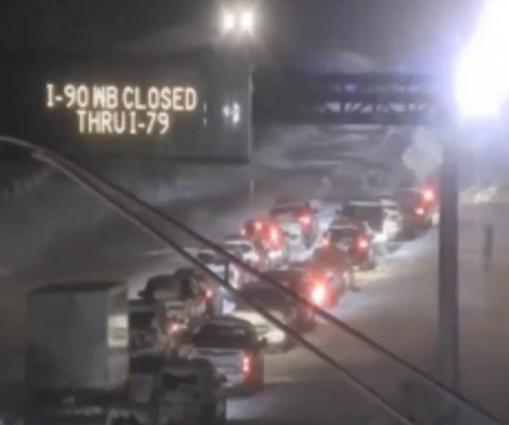
A brutal lake-effect snowstorm has paralyzed a stretch of over 80 miles of Interstate 90, leaving numerous drivers stranded between Ashtabula, Ohio, and Buffalo, New York.
Emergency officials have declared the conditions life-threatening, with heavy snow and high winds creating whiteout conditions and causing multiple accidents.
Some areas in the region are bracing for over 60 inches of snow, and residents have been urged to avoid travel. The intense snow band forced the closure of all westbound lanes of the New York State Thruway from Hamburg to the Pennsylvania state line.
New York Governor Kathy Hochul has declared a disaster emergency for the affected counties, enabling state agencies to deploy resources to assist with the crisis. Lake-effect snow warnings remain in place for Erie County, including Buffalo, through Sunday, with the southern tier region under alert into Monday.
What to Expect Saturday
The lake-effect snow band is expected to move northward Saturday, hitting Buffalo’s southtowns in the afternoon. Snowfall rates may intensify to 2–4 inches per hour, with some areas accumulating more than 2 feet overnight.
Meteorologist Heather Kenyon from the National Weather Service (NWS) noted that the heaviest snow will likely focus on southwest Erie County near the lakeshore, although areas like South Buffalo and West Seneca may also see significant snowfall.
Sunday: Buffalo Bills Game in the Snow?
By Sunday morning, the snow band is predicted to weaken slightly but could still bring 1–2 feet of additional snow to the southtowns. Forecasters are closely monitoring conditions for Sunday night’s Buffalo Bills game at Highmark Stadium in Orchard Park, which may be impacted by lingering snowfall and shifting winds.
Monday: Snow Moves South
As winds turn northwest Sunday night, the snow band is expected to shift toward Chautauqua, southern Erie, and Cattaraugus counties. Lake-effect snow showers will likely persist into Monday, with winter weather warnings potentially extending into the night.
Beyond Western New York: Michigan’s Upper Peninsula Hit Hard
The lake-effect system has also wreaked havoc in Michigan’s Upper Peninsula, where some areas have already recorded over a foot of snow. Parts of northern Michigan could see up to 3 feet of accumulation by Monday.
Meteorologists warn of gusty winds reducing visibility across the Great Lakes region and urge caution for travelers navigating the treacherous roads.
