FORESTVILLE, Calif. — A significant storm continued to unleash heavy snowfall and unprecedented rainfall on Friday as it traveled through Northern California, resulting in road closures and evacuations in specific locations. The storm has already caused two fatalities and left hundreds of thousands of residents without power in the Pacific Northwest.
Authorities have cautioned that the threats of flash flooding and rockslides remain, leading to numerous flight cancellations at San Francisco International Airport.
In Washington state, over 185,000 individuals—primarily in and around Seattle—were still without electricity as crews struggled to clear roads of fallen trees, electrical lines, and debris. Utility officials stated that the outages that began earlier in the week might persist into Saturday. In addition to strong winds, the National Weather Service issued a high surf advisory due to substantial ocean waves measuring between 20 to 24 feet, which could lead to serious beach erosion.
On the East Coast, relief came in the form of precipitation for New York and New Jersey, where wildfires had recently swept through, potentially alleviating fire risks for the remainder of the year.
The National Weather Service has extended a flood warning through Saturday for regions north of San Francisco as the strongest atmospheric river of the season brings an influx of moisture from the ocean. Flooding issues and road closures have been reported in the North Bay, with residents warned to prepare for disruption during both the morning and afternoon commute on Friday. Rainfall rates have surged and shifted to the south along the San Francisco Peninsula, with rain gauges recording between a few tenths of an inch to 1 to 2 inches so far, according to early reports from the weather service.
In Humboldt County, local officials issued evacuation notices and cautions, advising residents to brace for continuing storm impacts throughout the week. Flooding led to the closure of Highway 1, also recognized as the Pacific Coast Highway, in Mendocino County, north of Point Arena near the Garcia River, with no clear timeline for its reopening as per the California Department of Transportation.
The storm, categorized as a “bomb cyclone” due to its rapid intensification, struck land on Tuesday with fierce winds that downed trees, obstructing roads, vehicles, and homes, resulting in at least two deaths in Washington.
In response to the devastating storm, warming centers offering free internet access and device charging were opened in several communities in Washington, while some medical clinics were temporarily closed due to power outages. Trish Bloor, an official from the city of Issaquah, remarked on the unprecedented nature of the damage, stating, “I’ve been here since the mid-’80s. I haven’t seen anything like this.”
Projections indicated up to 16 inches of rain was possible in southwestern Oregon and the northern counties of California through Friday, with Santa Rosa recording 6.5 inches of rain in a 24-hour period, making it the wettest day since 1998. The Sonoma County Airport, situated in the wine region north of San Francisco, reported over 11 inches of rainfall in the past two days, and the smaller settlement of Venado saw around 12.7 inches during the same timeframe.
Officials warned about the potential for flash flooding, rockslides, and debris flows, especially in areas where wildfires had loosened hillsides. According to Scott Rowe, a hydrologist from the Sacramento weather service, the ground has remained capable of absorbing rain in regions affected by this summer’s Park Fire thus far. “It’s not necessarily how much rain falls; it’s how fast the rain falls,” Rowe explained.
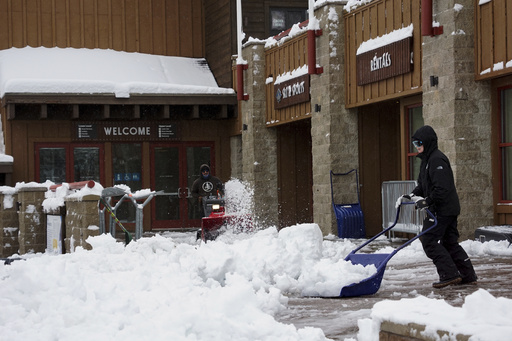
Moreover, a winter storm watch has been issued for the northern Sierra Nevada, where elevations above 3,500 feet could experience 15 inches of snow over two days, with wind gusts possibly exceeding 75 mph in mountainous areas, according to forecasters.
In California, reports indicated more than 12,000 power outages. The California Department of Transportation imposed restrictions on vehicle traffic along certain segments of northbound Interstate 5 between Redding and Yreka due to accumulating snow. Additionally, the picturesque Avenue of the Giants, famous for its tall coast redwoods, has experienced a two-mile stretch closure due to flooding.
Early Friday, more than 40 flights were delayed and approximately 12 canceled at San Francisco International Airport, as per data from a flight tracking service.
Meanwhile, the Northeast has benefited from timely rainfall that provides essential relief in a region grappling with severe drought and wildfire threats, with over 2 inches of rain expected by Saturday morning, including snow at elevated areas. Brian Ciemnecki, a meteorologist with the National Weather Service in New York City, noted that while this rainfall is pivotal, it won’t sufficiently resolve the ongoing drought, as this week marked the city’s first drought warning in 22 years.


