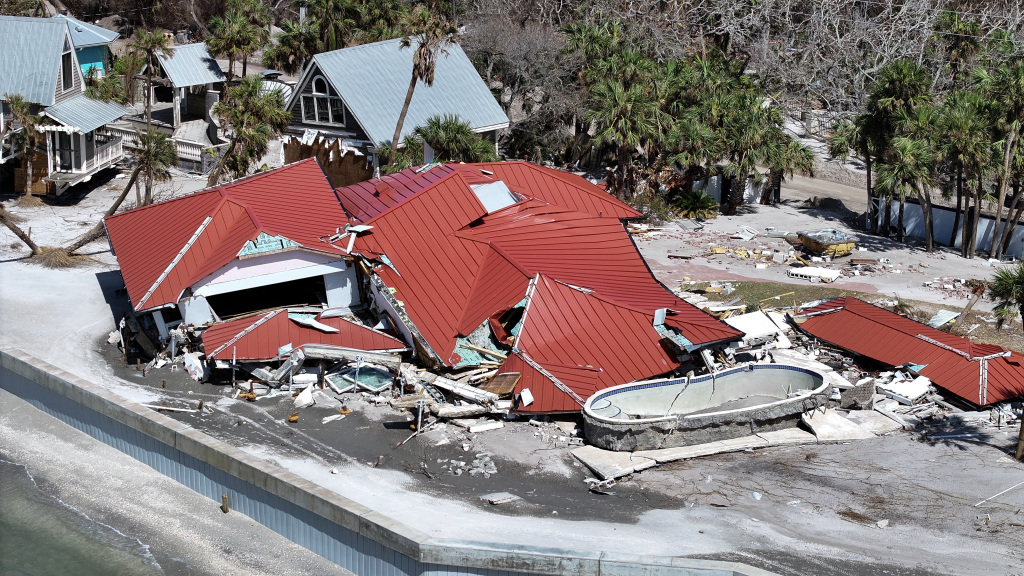
Striking images reveal how Hurricane Milton drastically altered Florida’s coastline, with some famous beaches now divided in two. Among the most affected areas were Sanibel and Captiva Islands, situated near Cape Coral. Satellite pictures show vast areas of sand and sediment being redeposited into the Gulf of Mexico, a natural response to the powerful storm’s aftermath.
Sand and sediment shift along the coast

According to meteorologist Cody Braud, the storm surge from Milton pushed a large amount of sand and water inland. This debris was later pulled back toward the sea, significantly modifying the coastline. Though this process of sand shifting is a typical result of storms, the volume of sediment moved during Milton was particularly substantial.
Braud explained that previous storms like Hurricane Helena had already driven sand further inland. However, Milton’s surge caused additional buildup along the shoreline rather than significant erosion.
Beaches split by returning water
Several of Florida’s iconic beaches were split due to water rushing back into the Gulf after the storm, creating new channels in the process. As water drained, it carved out fresh pathways along the coast. This dramatic reshaping of Florida’s shoreline occurred after experts had warned that about 95% of the state’s beaches would be underwater during the storm.
Historical coastal changes from storms
The U.S. Geological Survey warned that Milton’s waves and storm surge could cause erosion and overwash across all of Florida’s beaches. In the wake of previous storms like Helena, the potential for further erosion was especially high. Hurricane Milton now joins a list of destructive storms that have permanently changed Florida’s coastal landscape, including Hurricanes Ian, Irma, and Michael.