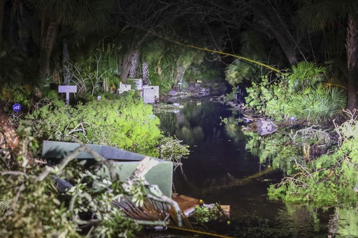
Before Hurricane Milton made its way towards Florida, meteorologists expressed concerns that it could lead to an inundation of as much as 15 feet (4.5 meters) of water engulfing the densely populated regions around Tampa Bay.
However, contrary to expectations, several feet of water were observed to temporarily recede.
This phenomenon, known as “reverse storm surge,” plays a crucial role in how hurricane winds interact with seawater during landfall—something that has been witnessed in Tampa Bay in the past.
In the Northern Hemisphere, the winds of a tropical storm circulate counterclockwise. Upon making landfall, the rotation of the wind pushes water toward the shore on one side of the storm and pulls it back out to sea on the other. Visualizing this, imagine drawing a circular line intersecting another; at one end the pencil moves inwards, and at the opposite end, it moves away.
According to Brian McNoldy, a senior researcher at the University of Miami specializing in tropical storms, the significant movement of water occurs predominantly in the region of the eyewall, where winds are at their most powerful.
Leading up to Milton’s approach toward Florida’s central west coast, forecasts indicated that Tampa Bay might experience the most severe effects of the surge. Nevertheless, determining the precise location and timing of a storm’s landfall can be complex, particularly as high tides can amplify the surge’s effects.
While dangerous winds, rain, and surge can occur far from the storm’s center, the actual point of landfall significantly influences where the surge is most pronounced. This principle also applies to the reverse, or “negative,” surge phenomena.
Ultimately, Hurricane Milton made landfall on Wednesday evening at Siesta Key, located near Sarasota, approximately 70 miles (112 kilometers) south of Tampa.
As a result, strong onshore winds generated a storm surge south of Siesta Key. The National Hurricane Center reported on Thursday that early data indicated a rise in water levels by 5 to 10 feet (1.5 to 3 meters) above the ground between Siesta Key and Fort Myers Beach.
Conversely, around the same time near Tampa, a National Oceanic and Atmospheric Administration gauge recorded an abrupt water level drop of about 5 feet late Wednesday night.
Similar occurrences of reverse surge were noted during Hurricane Irma in 2017 and Hurricane Ian in 2022, when individuals ventured out to explore areas that usually lay beneath the ocean.
McNoldy warns against this behavior, stating, “That’s an extremely bad idea, because that water is coming back.”
Indeed, by Thursday morning, the water levels had returned to their normal state.


