The 2024 Atlantic hurricane season officially ends on Saturday, concluding a highly active period characterized by a notable increase in tropical storm activity. This season witnessed a total of 11 hurricanes, surpassing the average of seven, and wreaked havoc far beyond the regions where the storms initially made landfall along the U.S. Gulf Coast.
Meteorologists have described this year as “crazy busy,” a situation attributed primarily to unusually high sea surface temperatures. Throughout the season, eight hurricanes made landfall across various locations, including the U.S., Bermuda, Cuba, the Dominican Republic, and Grenada.
Among the season’s highlights was Hurricane Beryl, which etched its name in history as the first Category 4 hurricane to develop in June. The storm struck Carriacou in Grenada, leading to the destruction of crops and residences, with a reported toll of two fatalities in Jamaica. As noted by hurricane researcher Brian McNoldy from the University of Miami, the occurrence of a Category 4 hurricane in this region is quite rare, with the last such event being Hurricane Dean in 2007. Later, Beryl intensified into the earliest Category 5 hurricane ever recorded in the Atlantic by July 1, challenging the norm, as major hurricanes (Category 3 and above) typically do not emerge until after September 1, according to the National Hurricane Center.
September saw the emergence of Hurricane Helene, which inflicted unprecedented damage across southeastern U.S. locales, marking it as the deadliest storm to make landfall in the United States since Hurricane Katrina in 2005, with over 200 casualties. North Carolina has reported a staggering estimate of at least $48.8 billion in damages, with homes, drinking water systems, farms, and forests suffering extensive destruction. Other states, including Florida, Georgia, South Carolina, Tennessee, and Virginia, also faced significant damage due to the storm.
Following that, Hurricane Milton gained strength at a rapid pace in October, reaching maximum wind speeds of 180 mph. This made it one of the most formidable hurricanes ever recorded by wind speed in the Gulf of Mexico, with only Hurricane Rita from 2005 being stronger in this regard. The regions impacted by Helene and Milton experienced rainfall up to three times their usual amounts for September and October, coinciding with the peak of hurricane season. Cities like Asheville, Tampa, and Orlando reported their wettest period on record for these months.
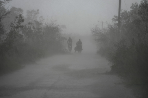
In November, Hurricane Rafael emerged, reaching wind speeds of 120 mph, closely approaching the record for the strongest November hurricane in the Gulf of Mexico, which was previously set by Hurricane Kate in 1985. Rafael made landfall in Cuba, where it compounded the island’s recovery efforts after the debilitating blackouts caused by Hurricane Oscar in October.
The correlation between hurricane activity and climate change has garnered significant attention this season. Experts have pointed out that emissions from human activities, such as transportation and industrial practices, have contributed to a rapid increase in ocean temperatures. While various factors drive hurricane development, abnormal warmth in ocean waters allows storms to form and escalate in unforeseen locations and periods. According to McNoldy, the emergence of Beryl and Milton at their respective times in the season is unprecedented and suggests a shift in weather patterns. He emphasizes that while climate change cannot be solely blamed for specific weather events, it undoubtedly makes extreme weather occurrences more probable.


